Read Part 1 HERE !
The drive to Rogers Reservoir Conservation Area was quicker than expected. In just thirty minutes, we'd exit the 404 and meander our way through residential grounds in search of signage.
When Google Maps had announced our arrival while crossing an overpass, I was utterly perplexed. Pulling over to determine our relative location was not an option, for the installation of on-street cycle tracks had eliminated shoulders on both sides of the street. Taking a quick gander at the route map, I made a U-turn at Mount Albert Road and 2nd Concession Road, heading west on Mount Albert until hitting Yonge Street. At the southeast corner of the intersection would be one of Nokiidaa Trail's asphalt lots.
When Google Maps had announced our arrival while crossing an overpass, I was utterly perplexed. Pulling over to determine our relative location was not an option, for the installation of on-street cycle tracks had eliminated shoulders on both sides of the street. Taking a quick gander at the route map, I made a U-turn at Mount Albert Road and 2nd Concession Road, heading west on Mount Albert until hitting Yonge Street. At the southeast corner of the intersection would be one of Nokiidaa Trail's asphalt lots.
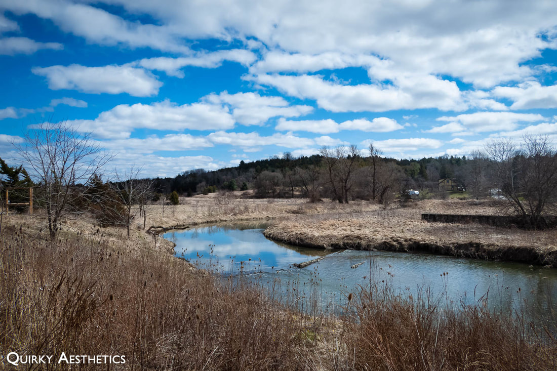
Frankly, I hadn't recalled when exactly Rogers Reservoir had earned itself a spot on my to-go list. Neither in the neighbourhood of high-desire POIs nor home to stunning views, my bookmark prompted further research the night before. Being situated in a predominantly residential area with little transition in elevation, the trail was comparable to Riverwood Conservancy back home.
|
|
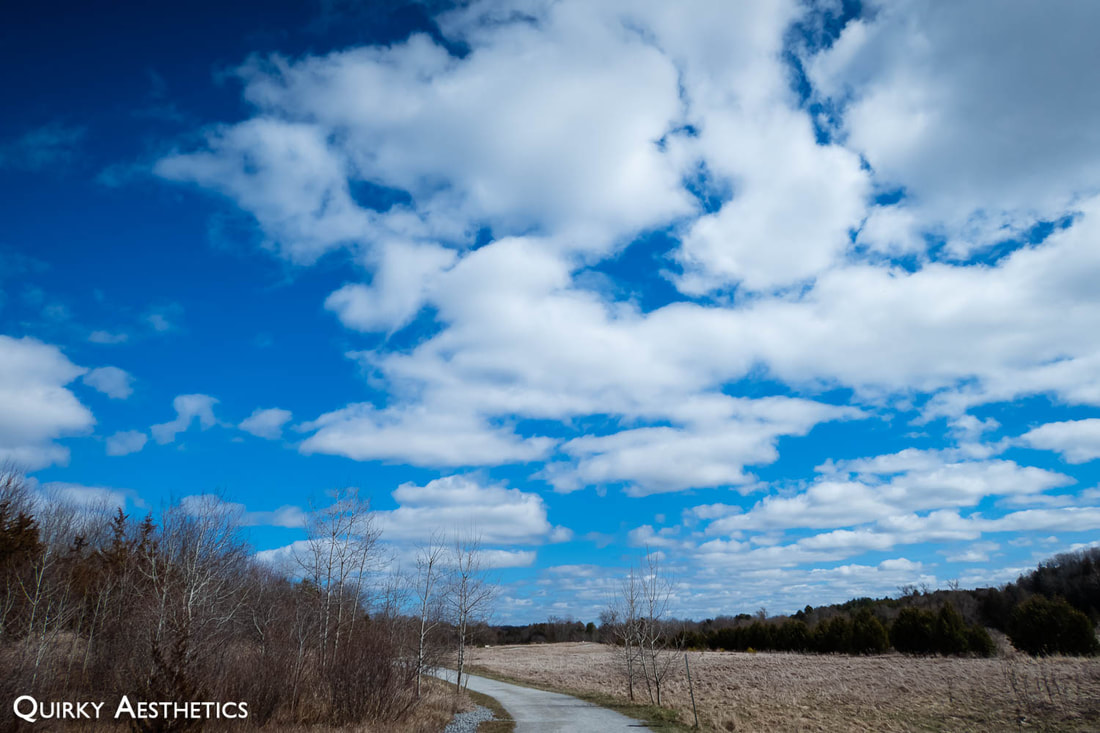
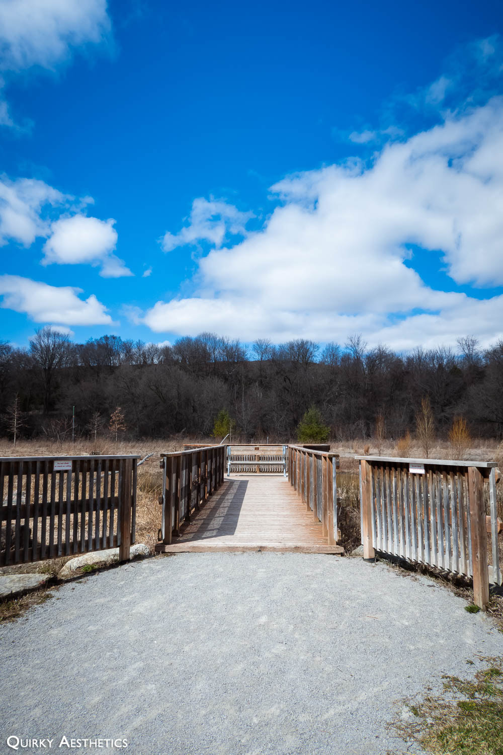
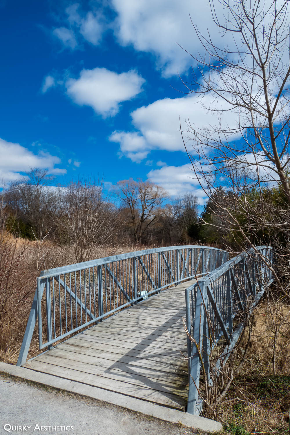
Weather conditions were splendid for the trek. Sunny, blue skies, temperatures hovering between the positive single- and double-digits, and occasional gusts of wind made for the perfect spring saunter.
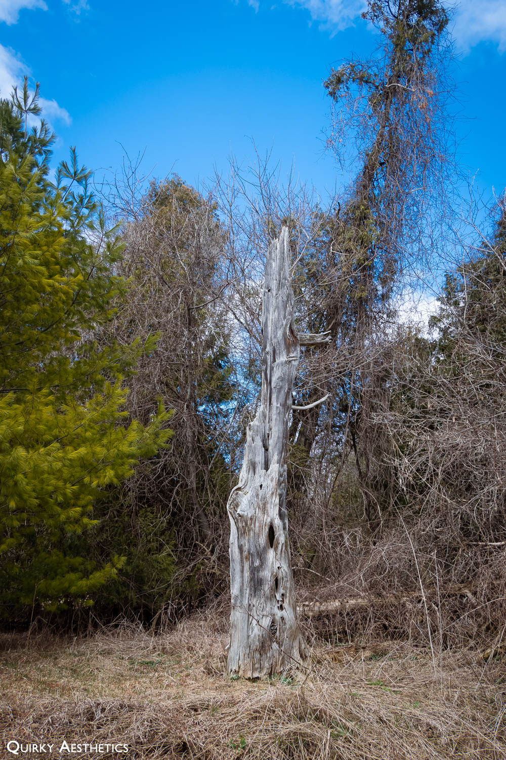
Tree cover was minimal, unlike that of southwest Sauga trails. Open areas granted an unobscured view of the skies above, though also subject us to beaming UV rays and the will of Mother Nature in an unapologetic manner.
Tree cover was minimal, unlike that of southwest Sauga trails. Open areas granted an unobscured view of the skies above, though also subject us to beaming UV rays and the will of Mother Nature in an unapologetic manner.
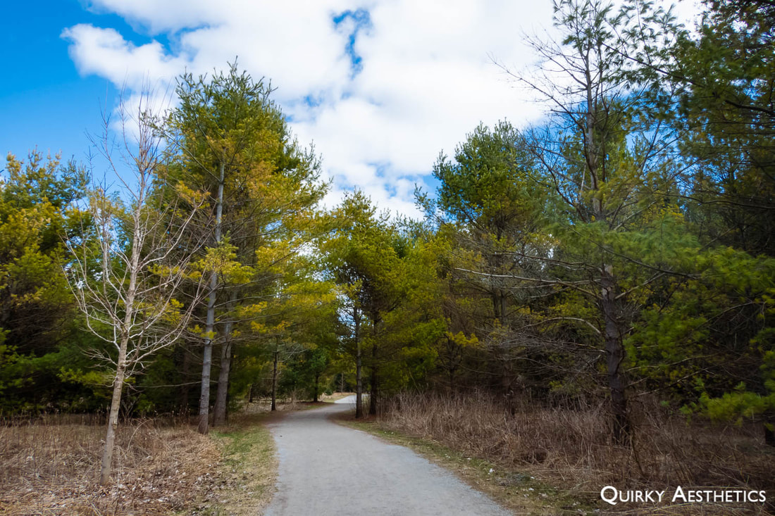
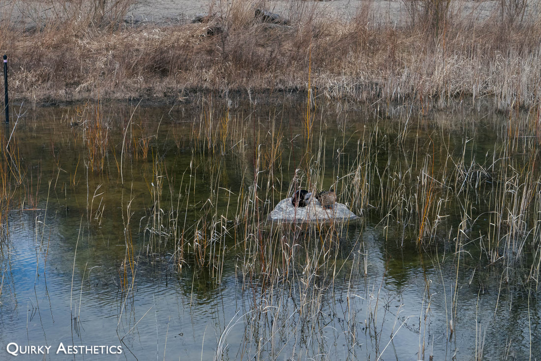
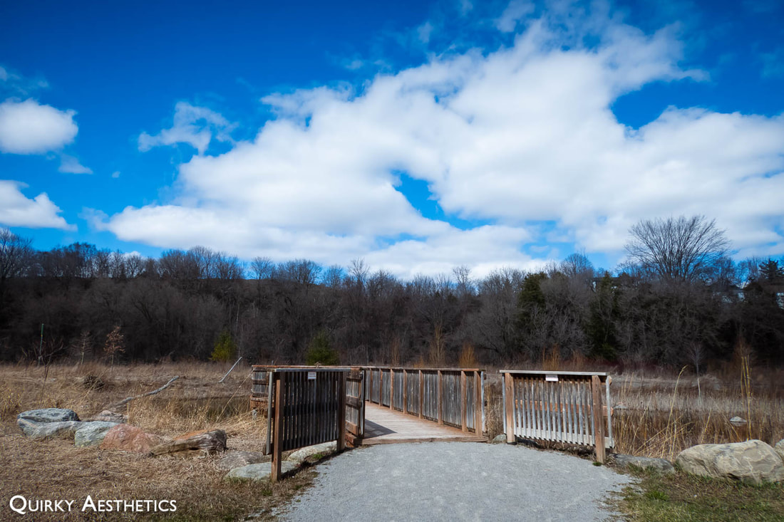
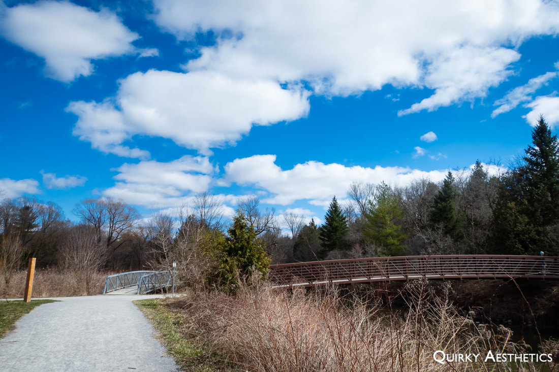
Generally speaking, the trail was very easy - ideal for families with small children, physically active elderly, and amateur to experienced cyclists. The path featured varying widths of paved and unpaved sections, the latter being gravel, dirt, or boardwalk and bridges. One could enjoy a scenic view of the Holland River on both the north and south sides, and eventually connect to 2nd Concession Road and East Gwillimbury GO station at grade level, if desired.
The downside was that the trail would not loop.
The downside was that the trail would not loop.


 RSS Feed